


Fort Salonga Property Tax Grievance
Fill out 1 Simple Form & We Will Handle the Rest
- We Handle All Paperwork
- No One Will Visit Your Home
- Tax Grievance Filing Won’t Raise Your Taxes
- NO REDUCTION = NO FEE – We Fight For Every Dollar
- No Upfront Fees
- Record Reductions for Our Clients

Suffolk County Will Not Voluntarily Reduce Your Assessed Value!
Paying high property taxes in Fort Salonga? Heller & Consultants Tax Grievance can help. We’ve received historic record tax reductions for many of your Fort Salonga neighbors in recent years that no other tax grievance service can claim. We can help you too!
Applying is simple, just click here or the Apply Online button on this page to begin saving. Best of all, if you don’t save, you don’t pay!
Please visit “Our Reductions” page to see how much we have saved your neighbors.
Our Record Suffolk County
Property Tax Reductions!
$17,000/yr Old Field Rd, Setauket
$13,000/yr Old Field Rd, Setauket
$9,000/yr Old Field Rd, Setauket
$7,000/yr China Ln, East Setauket
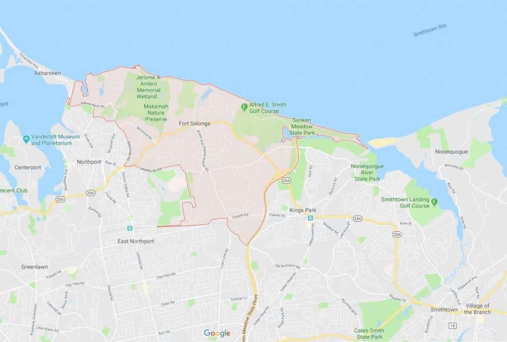
Interesting facts about the Town of Fort Salonga: Suffolk NY
Fort Salonga is a hamlet and census-designated place (CDP) in Suffolk County, New York on the North Shore of Long Island. At the 2010 census, the CDP population was 10,008. The name evolved from the Revolutionary War-era British Fort Salonga, or Fort Slongo, (named after one of the fort’s architects) once located near the border of the towns of Huntington and Smithtown, overlooking Long Island Sound.
Fort Salonga is a community at the northeast corner of the town of Huntington and at the northwest boundary of the town of Smithtown. It is considered the easternmost “town” of the historic Gold Coast of Long Island, with the Geissler Estate located within the hamlet.
At the 2000 census, there were 9,634 people, 3,225 households, and 2,715 families residing in the CDP. The population density was 1,068.8 per square mile (412.8/km2). There were 3,310 housing units at an average density of 367.2/sq mi (141.8/km2). The racial makeup of the CDP was 96.83% White, 0.61% African American, 0.05% Native American, 1.71% Asian, 0.28% from other races, and 0.51% from two or more races. Hispanic or Latino of any race were 2.25% of the population.
There were 3,225 households out of which 37.9% had children under the age of 18 living with them, 75.8% were married couples living together, 6.1% had a female householder with no husband present, and 15.8% were non-families. 12.0% of all households were made up of individuals and 4.6% had someone living alone who was 65 years of age or older. The average household size was 2.96 and the average family size was 3.22.